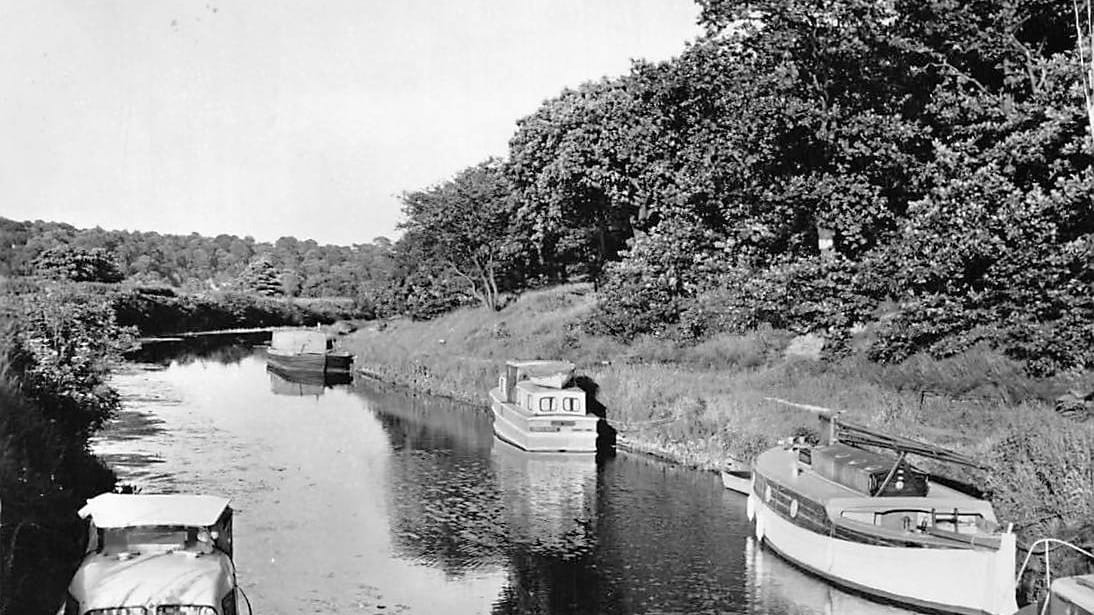
The Calder and Hebble Navigation
A brief history of the Calder and Hebble Navigation.

By the beginning of the 18th century, the Aire and Calder Navigation had made the River Calder navigable as far upstream as Wakefield. The aim of the Calder and Hebble Navigation was to extend navigation west (upstream) from Wakefield to Sowerby Bridge near Halifax.
The civil engineer John Smeaton made a new survey in late 1757, and produced a scheme which involved dredging shoals, making 5.7 miles (9.2 km) of cuts, the building of 26 locks, to overcome the rise of 178 feet (54 m) between Wakefield and the Halifax Brook, and the construction of a reservoir at Salterhebble bridge. Construction started in November 1759, and by November 1764, the navigation was open as far as Brighouse. James Brindley took over from Smeaton in 1765, and spent the next three years as its engineer.
The Commissioners re-appointed Smeaton in 1768 to complete the work. Banks were repaired and floodgates built at the start of some of the cuts. The work was just complete when a further flood caused so much damage that the only option was to close the navigation again. Construction of the initial phase was complete by 1770, with further improvements complete by 1782.
In 1918, towards the end of WW1, the Calder and Hebble Navigation was managed by the Northern Sub-Committee of the Board of Trade’s Canal Control Committee. Its office was at 52 Southgate, Halifax. The General Manager’s position was vacant. The Clerk was C S Walker, and the Engineer was A Scales. The telegram address was ‘Canal Halifax’, and the telephone number was Halifax 864.
There were Branch Office Agents in each of the principal towns along the Navigation:
- Sowerby Bridge – J Waddington, Canal Wharf.
- Halifax – T R Wilson, Canal Wharf, telephone Halifax 958.
- Elland – O L Haigh, Canal Wharf.
- Brighouse – J Waddington, Canal Wharf, telephone Brighouse 94.
- Cooper Bridge – A Watson, Canal Wharf.
- Wakefield – E Holroyde, Canal Wharf, telephone Wakefield 300.
The following Carriers were registered by the Canal Control Committee on the Calder and Hebble Navigation.
- Aire and Calder Navigation, Dock Street, Leeds.
- Rochdale Canal Company, 75 Dale Street, Manchester.
- Askew, S, Belle Vue, Wakefield.
- Barker and Sons, Nelson Square, Mirfield.
- Burn, George, Shepley Bridge, Mirfield.
- Calder Carrying Company, 52 Southgate, Halifax.
- Carey, Robert, Dalton, Huddersfield.
- Claxton, Thomas, Sandal, Wakefield.
- Clough, H J and T H, Church View, Mirfield.
- Dutton, David, and Sons, Canal Wharf, Elland.
- Dutton, William, Canal Wharf, Elland.
- Finney, J T, Hunslet, Leeds.
- Goodare, Sam, 27 Lilland Lane, Brighouse.
- Hampshire, Charles, South Street, Lower Hopton, Mirfield.
- Martin, John, Horbury Bridge, near Wakefield.
- Mellor, Henry, and Sons, Bradford Road, Brighouse.
- Norminton, J O, Shepley Bridge, Mirfield.
- Poppleton, W D, Deighton, near Huddersfield.
- Scargill, T and W, Savile Town, Dewsbury.
- Scholfield Brothers, Lower Hopton, Mirfield.
- Shaw, George, Dam Head, Wakefield.
- Waring, Sam, c/o Canal Lock-keeper, Brighouse.
- Weldrick, W, Belle vue, Wakefield.
- Wheeler, F J T, Savile Town, Dewsbury.
- Wilburn, E, and Sons, 59 King Edward Street, Hull.
- Wood, Albert, Wharf Street, Sowerby Bridge.
There were also a large number of boatmen owning one or two boats, trading between the ports of Hull and Goole and the West Riding, who were willing to pick up cargoes for anybody.
The canal was nationalised in 1948 and was used for commercial carrying until 1981, after which the navigation was used mainly for leisure.
Present day Route:
- Sowerby Bridge (HX6 2AG) to Belle Vue, Wakefield (WF1 5DX)
Present day Branches (west to east)
- Halifax Branch
- Dewsbury Arm
Key Facts:
- Length 21.5 miles
- Locks 28
Maximum boat dimensions (depending on water levels)
- Length 17.5m / 57ft 5″
- Width 4.32m / 14ft 2″
- Draught 1.07m / 3ft 6″
- Headroom 2.85m / 9ft 4″
Engineers:
- John Smeaton
- James Brindley
